
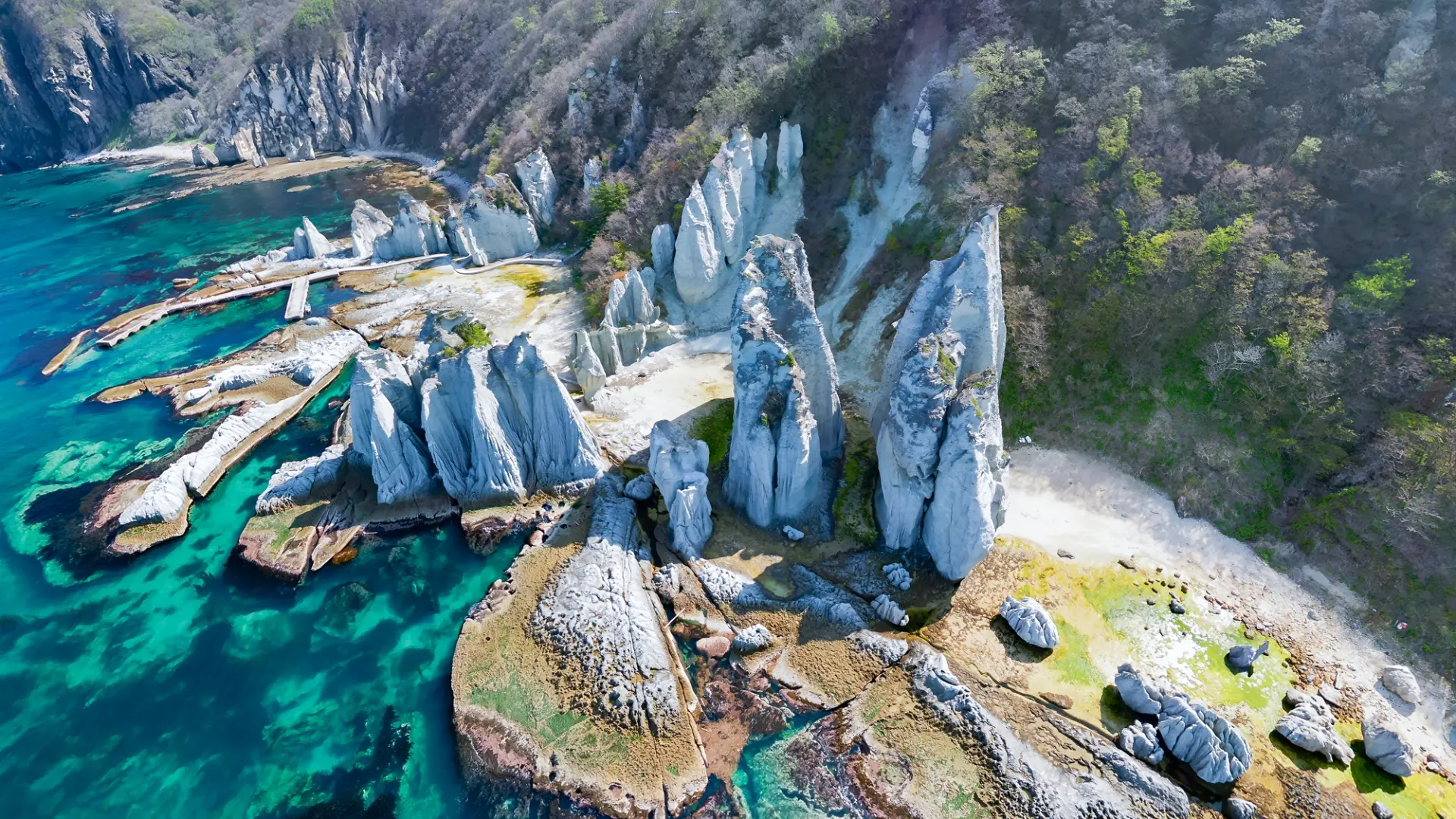
11 Dynamic Landscapes to Discover in Aomori: Immersive Scenery and Views That Stretch to the Horizon
Aomori is home to landscapes of many different scales, from Cape Tappizaki and Hotokegaura to the Oirase Gorge and Shirakami Sanchi.
Headlands jutting into the sea, sculpted rock formations, river-carved gorges, wide wetlands, and mountain ridgelines are scattered throughout the prefecture. As you visit each place and change your distance and perspective, the scenery can look completely different.
Combine the spots that interest you and experience Aomori’s dynamic landscapes.
Rock Formations Along Steep Coastlines
Where land and sea meet, terrain shaped by wind and waves becomes the scenery itself.
Changing your viewpoint—standing on a cape or approaching by boat—can make even the same coastline feel different.
Experience its scale by taking it in as you move.
1. Cape Tappizaki (Sotogahama Town)
This cape juts out from the northernmost tip of the Tsugaru Peninsula, and on clear days you can see all the way to Hokkaido across the water.
Surrounded by the Sea of Japan, the Tsugaru Strait, and Mutsu Bay on three sides, it is known for strong sea winds and has earned the nickname “Cape of Wind.”
The surrounding area is dotted with sites such as the Dazai Osamu Literary Monument and song monuments, letting you take in both scenery and culture as you walk. Japan’s only pedestrian-only national highway, the “Stairway National Route,” is also a popular photo spot.
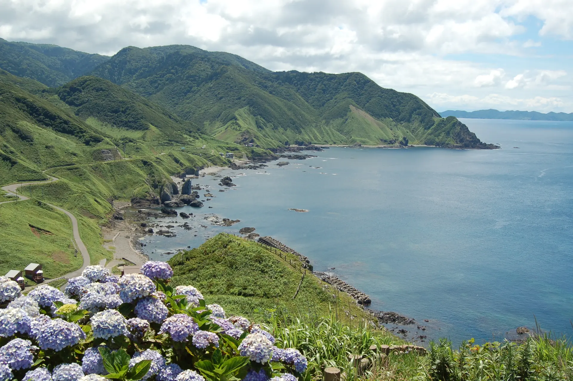
2. Cape Oma (Oma Town)
Located at the northernmost point of Honshu, this cape faces Hokkaido across the Tsugaru Strait.
The distance to Cape Shiokubi in Hakodate, Hokkaido, is 17.5 km across the strait. On clear days, you may be able to see Hakodate’s coastline and Goryokaku Tower beyond nearby Benten Island.
The cape has a giant tuna monument and a place that issues certificates of arrival, making it a popular stop as a journey’s endpoint. Experience the sense of distance that lets you feel another land beyond the sea.
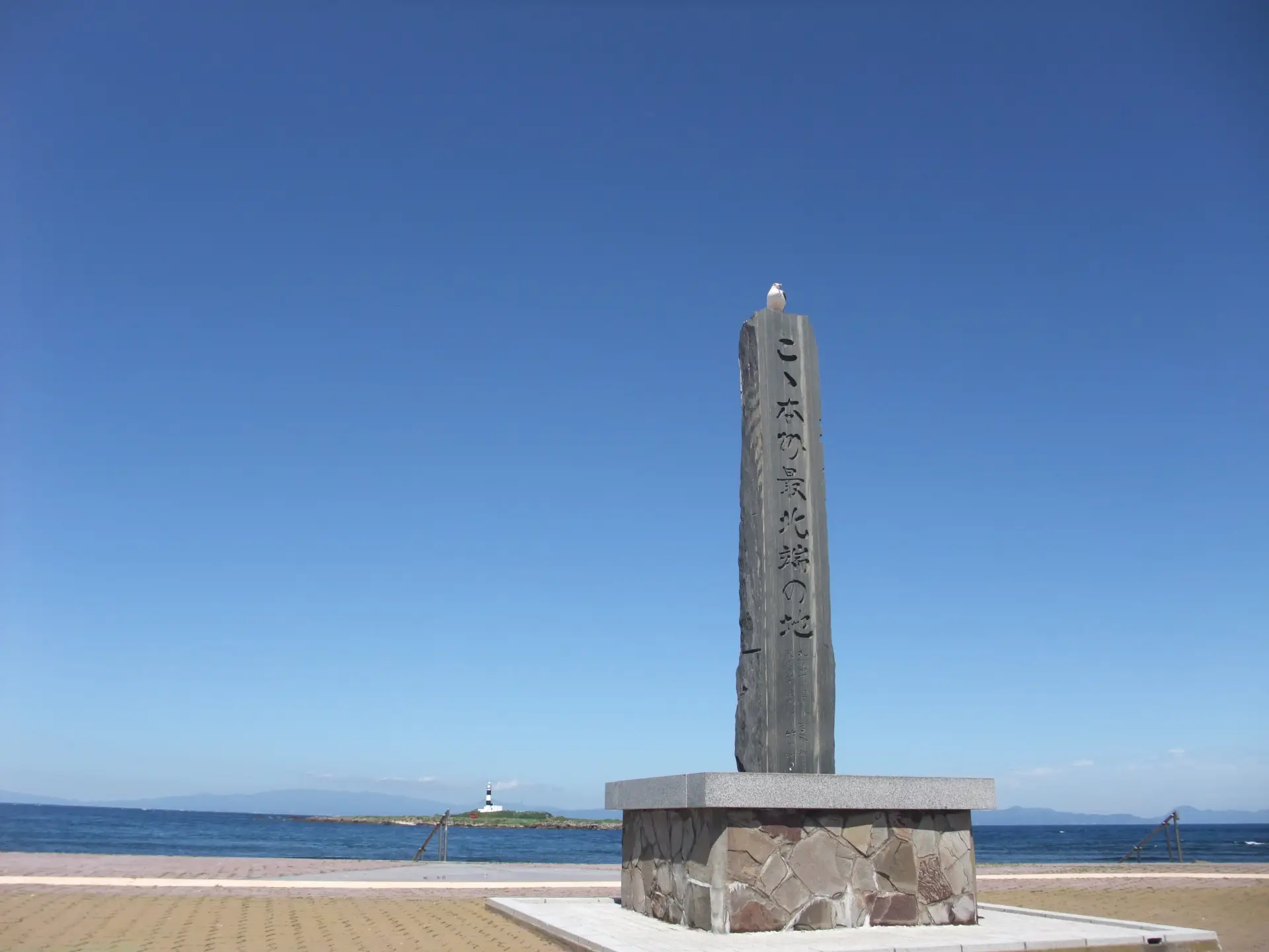
3. Hotokegaura Sightseeing Boat (Sai Village)
This scenic area features unusual rock formations created by eroded tuff, stretching for about 2 km.
You can reach Hotokegaura on foot, but since the route involves a steep slope with an elevation difference of 100 m, sightseeing by boat is recommended. The sightseeing boat tour takes about 1 hour and 30 minutes in total: about 30 minutes each for the outbound trip, time to explore on site, and the return trip.
After viewing the line of rocks from the sea, land and walk among the formations to experience how the scenery changes from a different perspective.
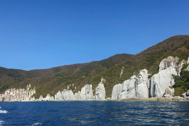
Walk Along Lakes and Streams to Trace Landscapes Shaped by Water
Along streams shaped by the flow of water, waterfalls, rocks, and changing currents appear one after another.
Following the highlights along the walking paths lets you experience the landscapes of Oirase and Yagen in detail.
The depth of the experience changes with how far you walk.
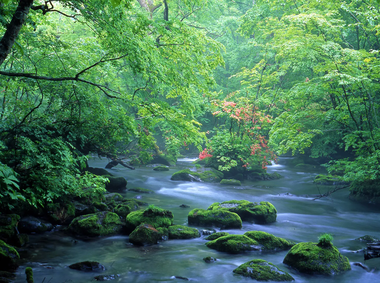
4. Oirase Gorge (Towada City)
This mountain stream runs along the Oirase River, which flows out of Lake Towada.
Designated as a Special Place of Scenic Beauty and a Natural Monument of Japan, it is dotted with many highlights, including waterfalls, clear streams, huge rocks, and steep cliffs.
A sightseeing spot awarded two stars in the Michelin Green Guide, it has a roughly 14 km walking trail from Nenokuchi to Yakeyama. Walking the entire route takes about 4 hours, and you can also choose specific sections to explore. Plan your route according to your schedule.
5. Yagen Gorge (Mutsu City)
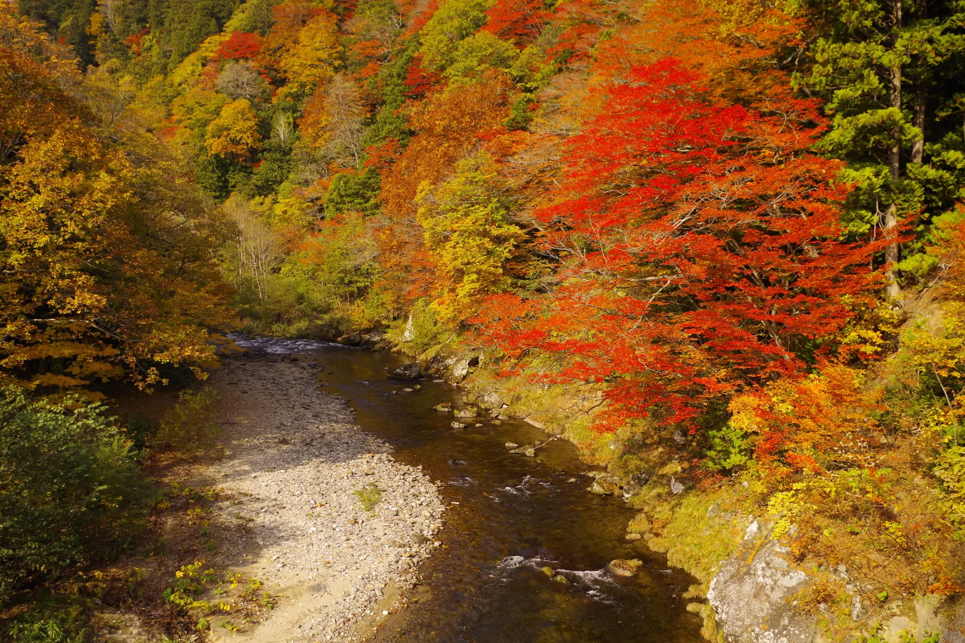
This gorge formed along the Ohata River and is known for its continuous rocky terrain and flowing water. Created by thousands of years of erosion, the gorge follows the Ohata River and offers varied scenery.
Along the roughly 6 km walking path, you’ll find a natural forest of giant trees, suspension bridges, and traces of a forest railway. The farther you walk, the more the landscape changes, revealing how the stream was formed.
Stand in Wetlands and Look Out Over Grassland-Like Scenery
In wetlands with few obstacles blocking the view, you can look out over scenery that stretches from your feet into the distance.
Walking along wooden boardwalks and observing the plants and terrain helps you truly grasp the area’s breadth. Visit during the peak season if you can.
6. Bense Marsh (Tsugaru City)
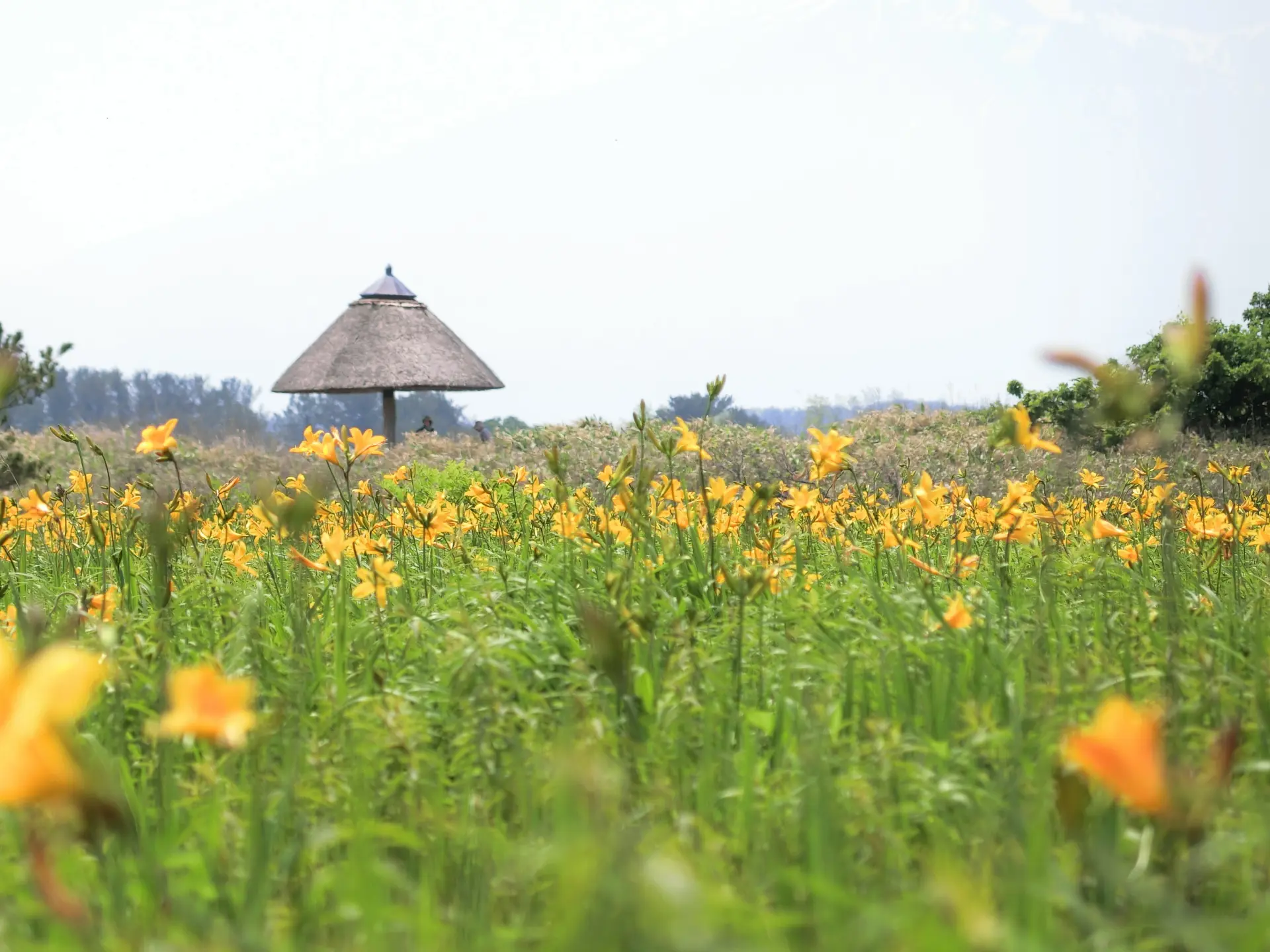
This area offers scenery that seems to color the entire wetland. In early June, daylilies reach their peak bloom and cover the area, creating a view like a golden carpet.
As you follow the walking path, flowers spread across your field of vision. Visit during the blooming season to experience the scale of the landscape.
7. Tashirotai Marsh (Aomori City)
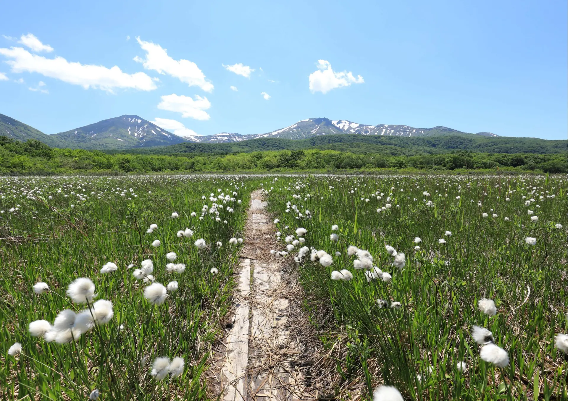
This marshland spreads across the northern edge of the Hakkoda Mountains, offering open scenery with few obstacles to block the view.
Because it sits at a relatively low elevation, its vegetation differs from other wetlands in the Hakkoda area, and it has been designated a Natural Monument of Aomori City.
Inside the marsh are three wooden boardwalks and a rest area, and a full loop takes about 1 hour. The area is open for walking from late May to late October, and entry is not permitted in winter.
Observe the differences in vegetation as you walk.
Mysterious Scenery Woven by Primeval Forests and Lakes
In areas where nature remains largely untouched, forests and water sit side by side across the landscape.
Experience this environment firsthand through trekking and walking.
8. Shirakami Sanchi (Nishimeya Village)
This mountainous area is covered in primeval beech forest, creating a place where the forest itself becomes the scenery.
Because it is home to and supports a wide range of living things and preserves a valuable ecosystem, it was registered as a UNESCO World Natural Heritage Site in 1993.
Following the trekking courses lets you observe the forest structure and features of the natural environment up close. Routes starting from the visitor center are also available.
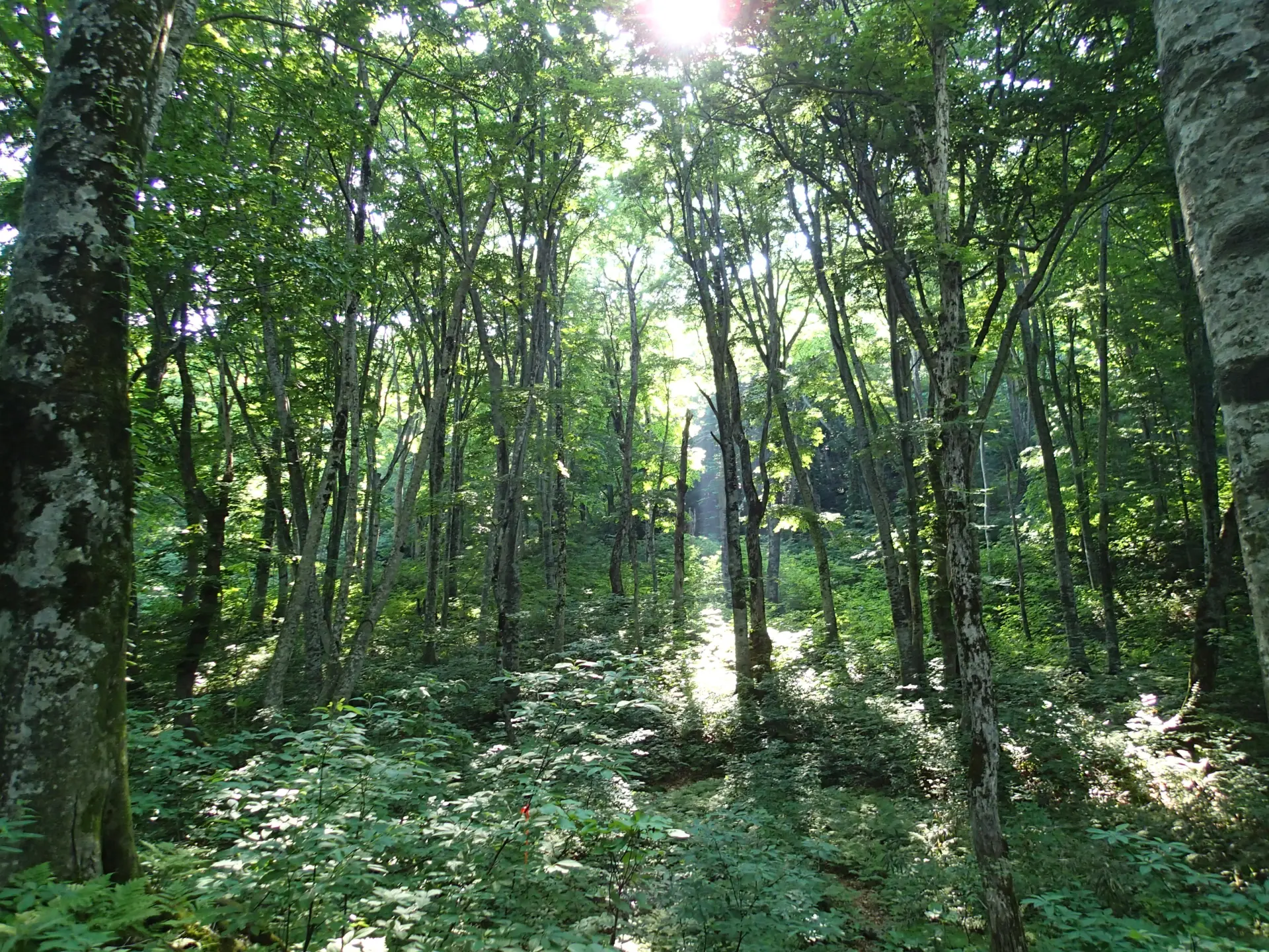
9. Juniko Twelve Lakes (Fukaura Town)
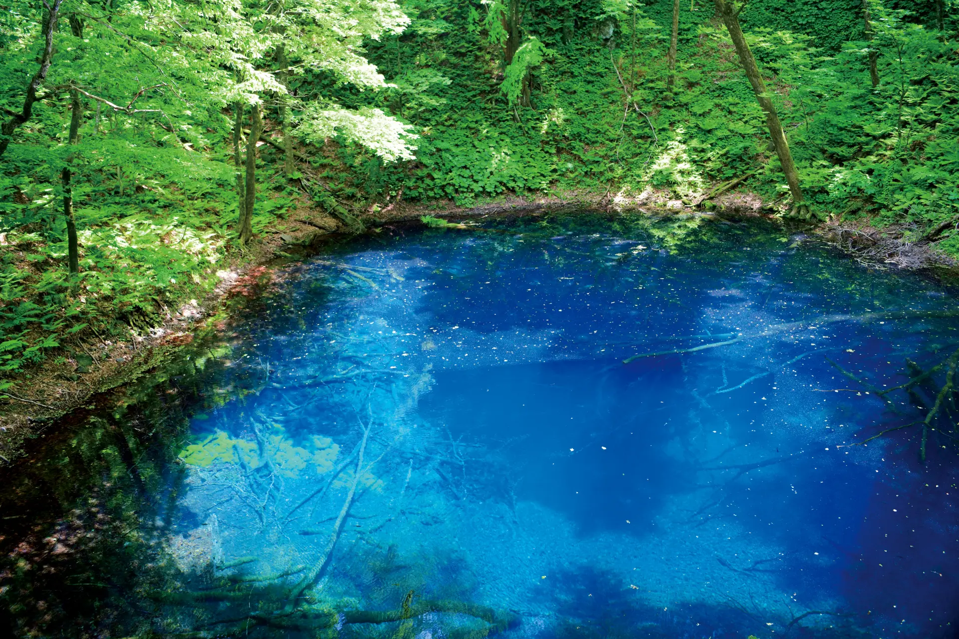
This group of lakes and ponds scattered through a beech forest is known for scenery where the differences in water color stand out. Among the lakes and ponds, each with its own character, Aoike Pond is especially worth seeing for its color, often described as looking like blue ink poured into the water.
The name is said to come from the fact that 12 lakes could be seen from the mountain above. Walk the trails and compare the different water colors and levels of clarity.
Seasonal Scenery Colored by Mountains and Flowers
Mountains change in appearance depending on elevation and terrain, with flower fields spreading around them.
Rather than just viewing them from afar, get closer to gain a clearer sense of their scale.
10. Mount Iwaki (Hirosaki City)
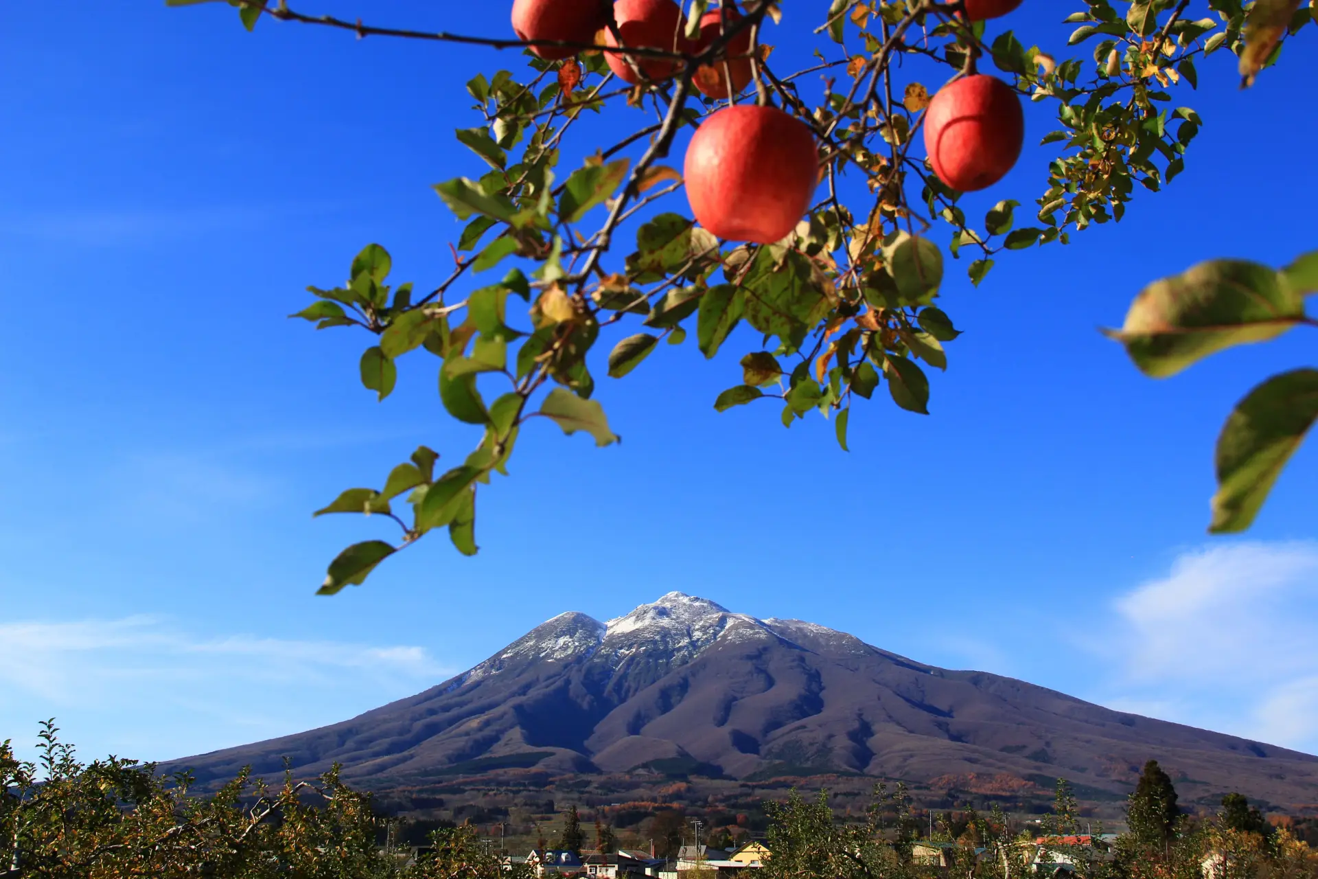
This mountain spreads broadly across the Tsugaru Plain and serves as a landmark visible from many places.
Locally, it is affectionately called “O-Iwaki-san,” and because of its form spreading over the Tsugaru Plain, it is also known as “Tsugaru Fuji.”
You can access the 8th Station via the skyline road and continue toward the summit from there. As you gain elevation, the relationship between the mountain and the surrounding terrain becomes clearer.
11. Yokohama Town Rapeseed Flower Fields (Yokohama Town)
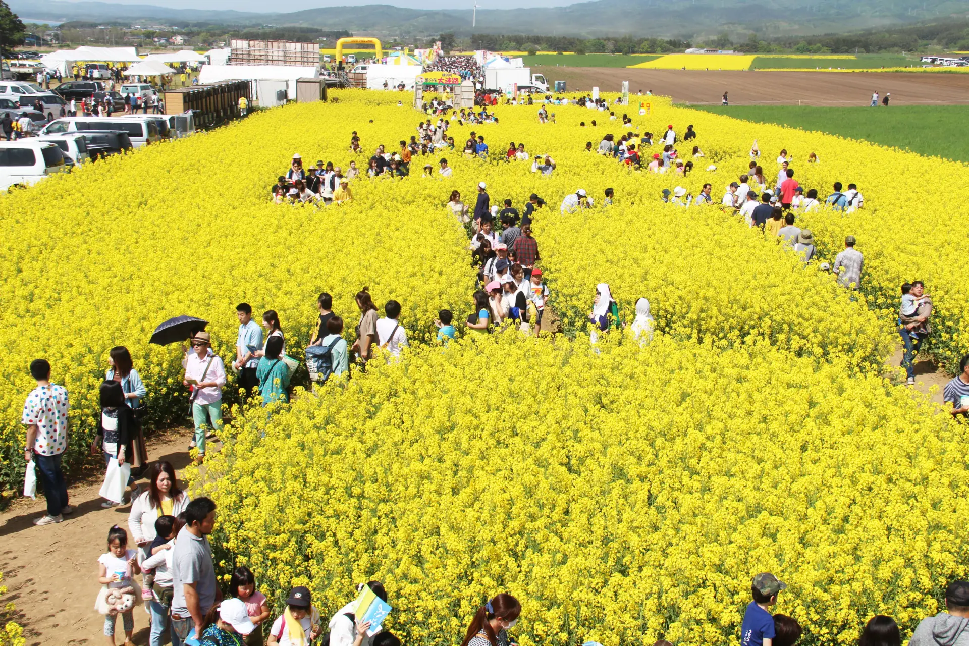
Fields dyed yellow stretch across the landscape, creating an impressive view together with the mountains of Shimokita and wind turbines.
The flowers typically bloom from late April to early May, with the best viewing season from early to mid-May. At peak bloom, the area turns yellow, creating layered views made up of several elements.
Plan your visit around the blooming season.
Summary
Stand on a cape, get close to rock formations, walk along flowing water, and make your way to wetlands and mountains.
In Aomori, you can experience landscapes of different scales from place to place. Combine the areas that interest you and see the differences in each view for yourself.