
Verified [Verified] denotes information that has been published with confirmation of its owing parties.
Mt. Tsurugi
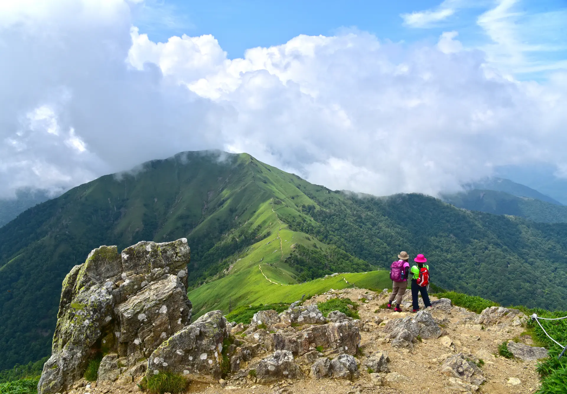
At 6,414 feet (1,955 meters), Mt. Tsurugi is the second-highest mountain in western Japan and one of the 100 Famous Japanese Mountains.
At 6,414 feet (1,955 meters), Mt. Tsurugi is the second-highest mountain in western Japan and one of the 100 Famous Japanese Mountains. Rising in western Tokushima Prefecture along a ridge of the Shikoku Mountains, it has long been revered as a sacred site of mountain worship. According to a legend associated with the Heike clan, the mountain was named after a sword belonging to Emperor Antoku that was hidden there.
The Mt. Tsurugi Sightseeing Chairlift runs from the Minokoshi trailhead to Nishijima Station, located at an elevation of approximately 5,741 feet (1,750 meters), in about 15 minutes. Several trails lead from Nishijima to the summit, allowing hikers to choose a route suited to their fitness level and goals. Although the chairlift makes the ascent easier, the final section to the summit must be completed on foot. Along the way, hikers can also visit sites such as Otsurugi Shrine and the sacred Goshinsui spring.
The area near the summit has few trees and features gently rolling terrain covered in dwarf bamboo. The observation deck offers 360-degree panoramic views, and on clear days, visitors can see the Seto Inland Sea, the Kii Peninsula, and distant mountains. Seas of clouds and star-filled skies are also among the mountain’s attractions. Staying at the summit lodge gives hikers the opportunity to take in scenery only available to those who spend the night on the mountain. Alpine plants bloom from spring through summer, while the leaves change color in fall, giving the mountain a different appearance each season.
Highlights
-
At 6,414 feet (1,955 meters), it is the second-highest mountain in western Japan and one of the 100 Famous Japanese Mountains.
-
The trails pass sites associated with mountain worship, including Otsurugi Shrine and the sacred Goshinsui spring.
-
The Mt. Tsurugi Sightseeing Chairlift takes visitors to an elevation of approximately 5,741 feet (1,750 meters).
-
Several trails are available, allowing hikers to choose a route suited to their fitness level and goals.
-
The area near the summit offers 360-degree panoramic views.
Photos
-
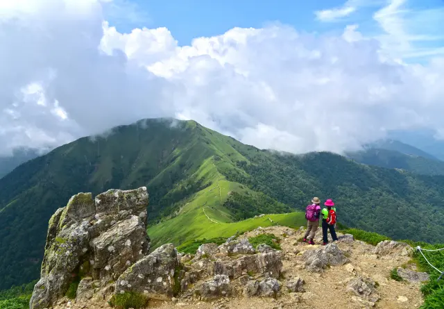
The chairlift makes the hike to the summit more accessible
-
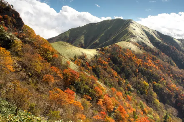
In fall, the mountainside turns red and yellow, contrasting with the fields of dwarf bamboo
-
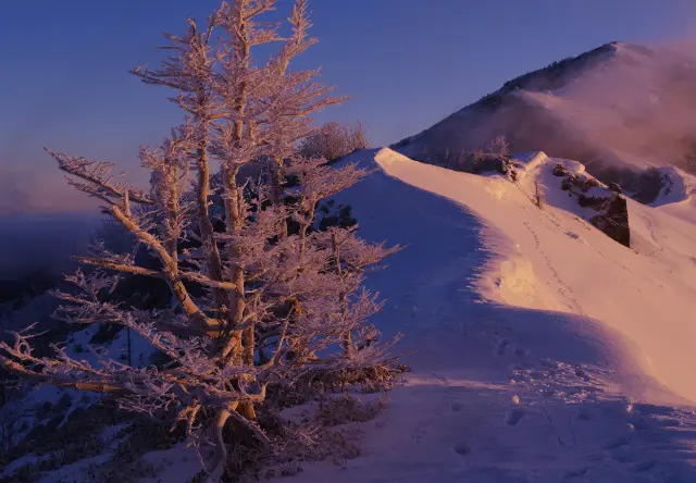
In winter, the mountainside may be covered in snow and frost-covered trees
-
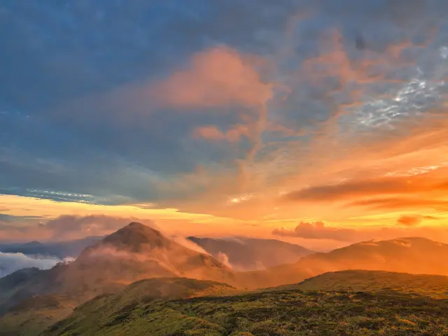
Staying near the summit offers views of mountain ridges bathed in the colors of sunrise and sunset
Official FAQs
Frequently Asked Questions have been vetted and answered directly by each listing.
Q
Are foreign-language brochures or information signs available? If so, which languages are supported?
The Miyoshi City tourism guide “Hidden Region Trip” is available in Japanese, English, and Traditional Chinese. Signs along the route are in Japanese and English.
Q
Is free Wi-Fi available in the area?
No.
Q
Are coin-operated lockers available?
No.
Q
Are restrooms available?
Yes.
Q
Is there a designated smoking area?
No.
Q
Are there any nearby tourist attractions?
Nearby attractions include the Oku-Iya Niju Kazurabashi Bridges and Nagoro Scarecrow Village.
Reviews
Details
- Name in Japanese
- 剣山
- Postal Code
- 778-0201
- Address
- Sugo, Higashi-Iya, Miyoshi, Tokushima Prefecture
- Phone
- 0883-76-0877 (Miyoshi Tourism Association)
- Closed on
- Open for hiking at all times (the chairlift is closed for the winter from December 1 through mid-April)
- Hours
- Open for hiking at all times
- Admission
- Free (chairlift fees apply)
- Access
- Approximately 1 hour and 22 minutes by car from JR Oboke Station
- Official website
- Official website (English)